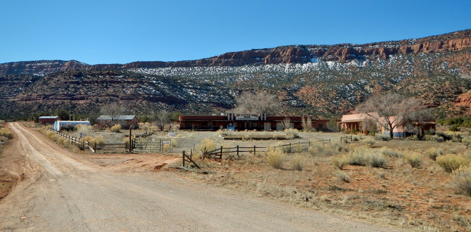
 Our starting point is at the junction of State Highway 95 and SJC 258; Fry Canyon Lodge is privately owned and not open to the public. Makes certain, before leaving Blanding, to have a full tank of gas, water and food; there is nothing available between Blanding and Hanksville.
 Even though you can see it from the highway, Fry Point is finally reached at 1.2 miles; to us, it resembles a railway engine; sort of like the one in the opening credits for the PBS "Poirot Mysteries" series. Then again, it could be a battleship sailing full steam ahead!
 "The Needle" is a desert tower at 3 miles; looking at it from up above, there is a dirt road circling around it. Hundreds of years from now, will someone look at it and say, "What mystical place was this?" There is a dirt trail leading out to it, but only about halfway; hiking will get you there the rest of the way.


 At 4.9 miles, the road begins its trek upwards; it is graded all the way through, but being a dirt road, don't expect perfect smoothness. At certain curves, it will have a switchback to allow other vehicles to pass by; the views are stunning the higher upwards you drive.


 |
| Center, far distance, Jacob's Chair. |

 |
| Yes, the road winds around the hills. |

Moss Back Butte


Just as you come up around a corner at 6 miles, you come to an amazing sight...a set of fins, a little arch, and a huge boulder flanking both sides of the road.


 |
| Cracked Fin |


 |
| Looking upwards at the nearby landscape. |
 Just past this dynamic trio was a rock formation that looks like a snapping turtle, with a shark fin nearby.
Not every formation in Utah has a name; but having a good imagination allows you to name it yourself.
 Almost done with this post as we near mile mark 7; a grotto of multi-colored adobe and sandstone hills. Melting snow was flowing down and created a small stream; a drainage pipe allowed it to flow underneath the road and cascade out into a small canyon on the opposite side.


 |
| View from the seven mile point. |
 Water drains down into this small canyon like area.
 ...and this ends part one, the first seven miles. With this photo, around the next corner, begins part two.
Mary Cokenour


.jpg)